


Program Complex for Processing, Monitoring and Visualization of Geospatial Data
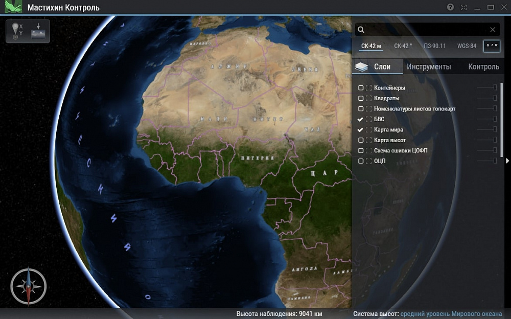
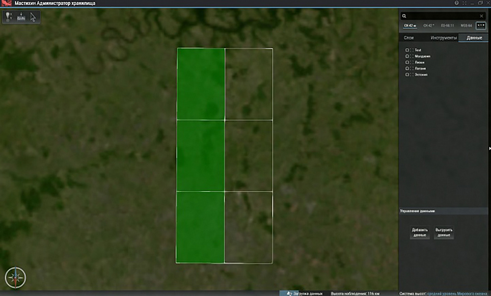
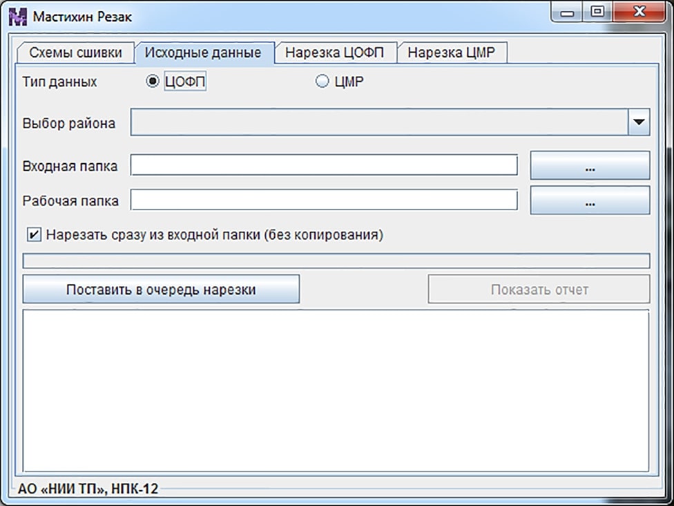
- Purpose: The first software component provides: - adding a new project through selection of the digital orthophotomap stitching scheme; - import of initial data into TIF format; - checking the quality of the initial data; - repeated converting the initial data into the tile presentation format and the corresponding storage structure. The second software component provides inspections of various parameters, such as: - checking data for transparency; - checking data for the presence of homogeneous areas; - generating and saving reports with a list of all files matching the category of the checks being carried out, etc. The third software component provides: - visualization of geospatial information in planned and 3D modes; - display of the list of projects loaded into the database; - customized export of data from one project, several projects or from a selected area with color differentiation of data available and process indication.
- Year of release: 2019
- Guaranteed service life (years): 3
- Estimated production / delivery time (months): From 1 months depending on adaptation requirements
- Flight qualification of the product: No
- Possibility to adapt the product to customer requirements: Yes
The Software Complex consists of three modules. The Complex is designed for converting digital geodata from standard raster formats into a unified light tile format for data presentation, as well as for monitoring the results of re-conversion, on-line visualization and managing the total amount of data stored in the storage device.
Legal information
Please note that this site is for informational purposes only and under no circumstances is not a public offer determined by the provisions of the Part 2 Article 437 of the Civil code of the Russian Federation.
Information on this site may be changed or supplemented.