


Program Complex for Visualization of Geospatial Data
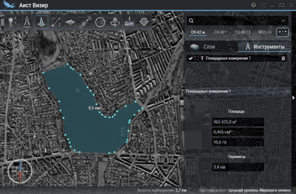
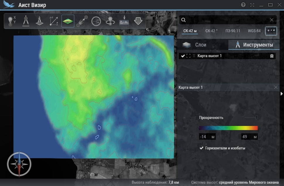
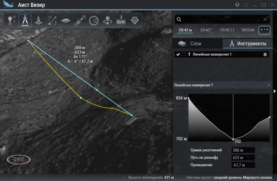
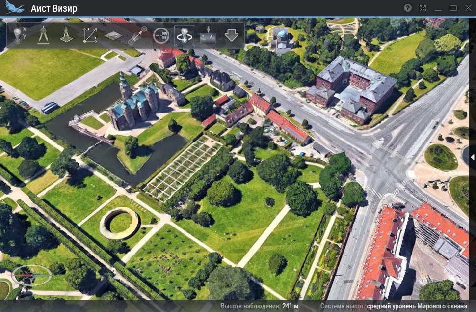
- Purpose: The Program complex ensures operational solution of tasks upon visualization of various geospatial information in planned and 3D modes without connecting to the Internet; allows you to determine spatial coordinates of any point, as well as performing calculations on the ground with/without taking into account the relief; provides search by coordinates and names, calculation of visibility from a point and export of raster data to a file for printing or for use in third-party software.
- Year of release: 2017
- Guaranteed service life (years): 3
- Estimated production / delivery time (months): From 1 months depending on adaptation requirements
- Flight qualification of the product: No
- Possibility to adapt the product to customer requirements: Yes
| Parameter | Value |
|---|---|
| Coordinates accuracy | Depending on product type |
The Program complex is intended for operational visualization of various geospatial information in near real time, as well as for solving a number of basic computing tasks based on it.
Legal information
Please note that this site is for informational purposes only and under no circumstances is not a public offer determined by the provisions of the Part 2 Article 437 of the Civil code of the Russian Federation.
Information on this site may be changed or supplemented.